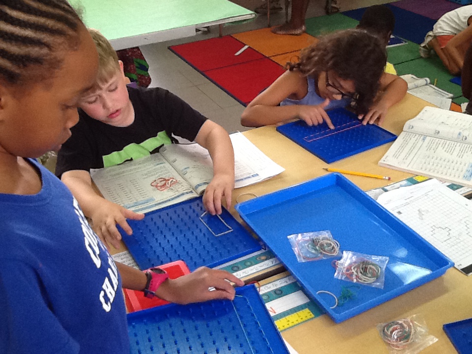
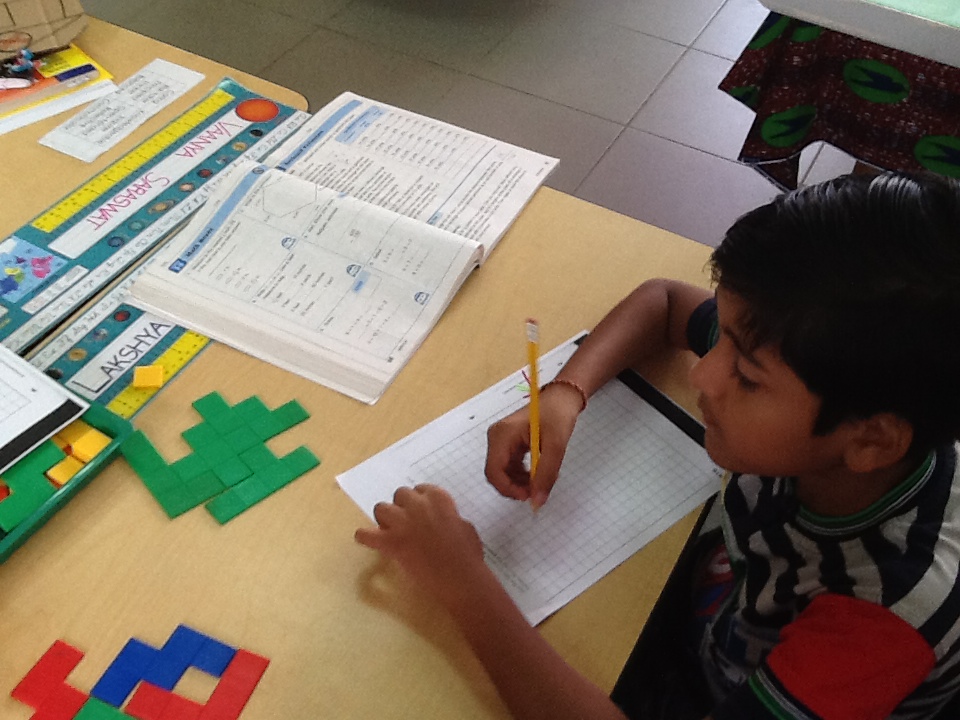
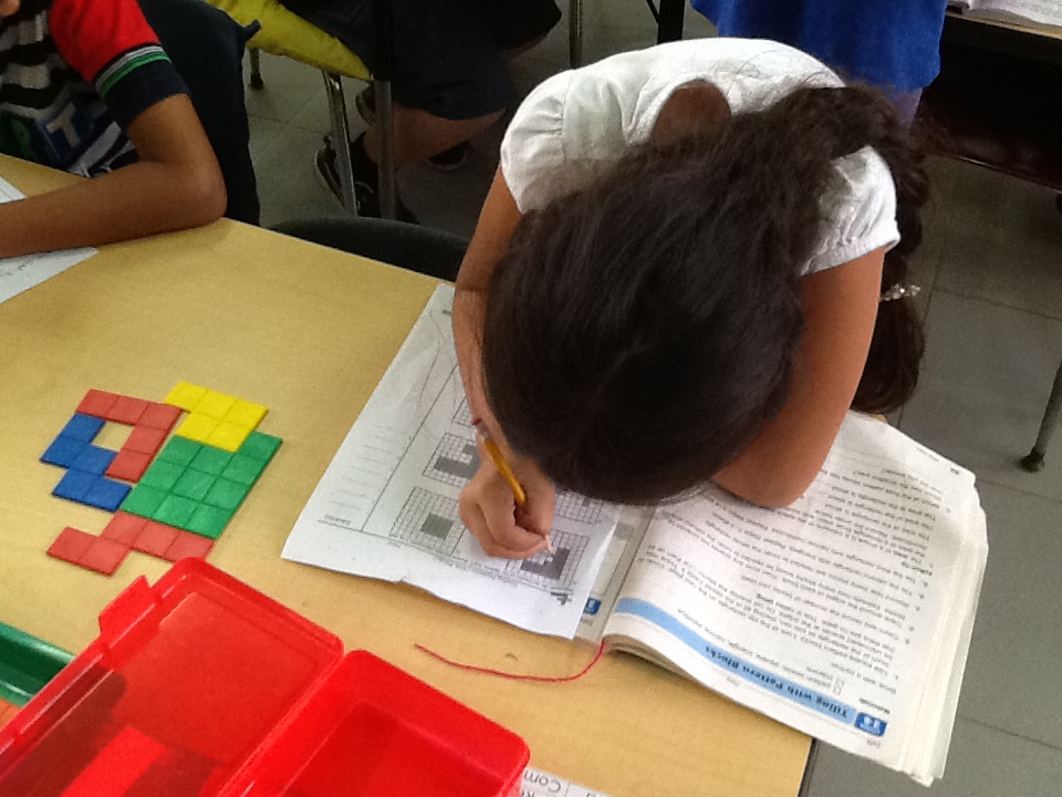
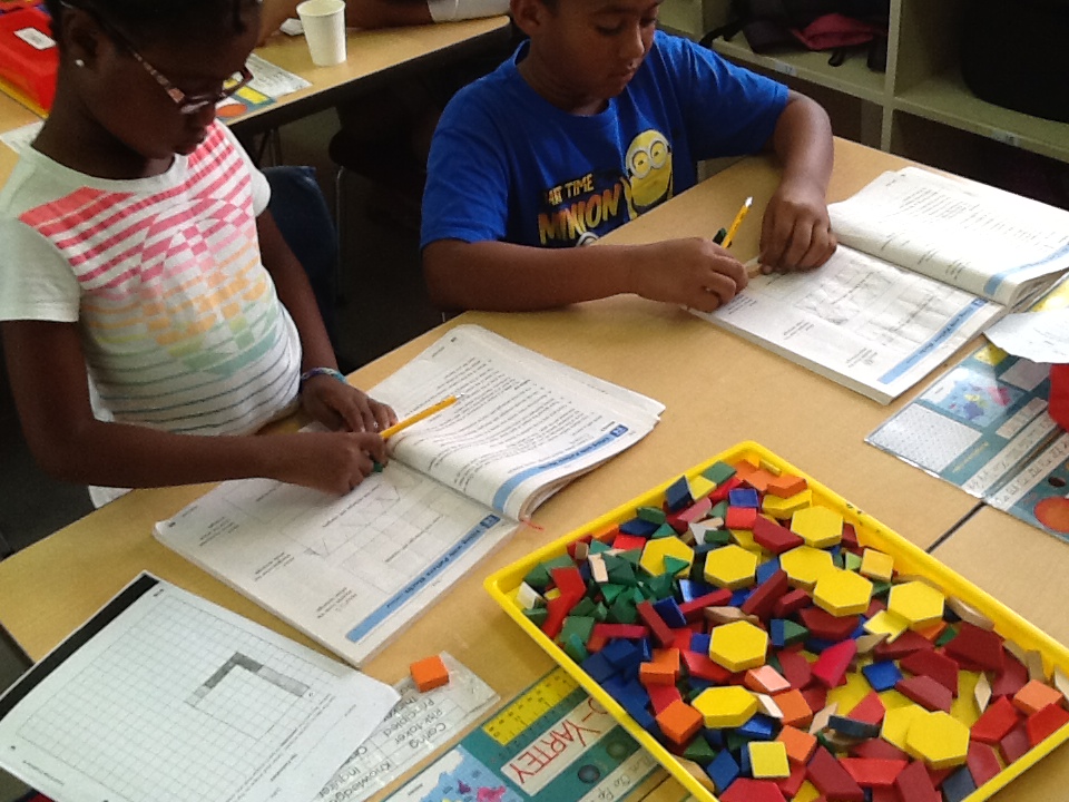
3B has made great connections between area and perimeter and how they relate to our unit of inquiry: How We Organize Ourselves: City Systems!
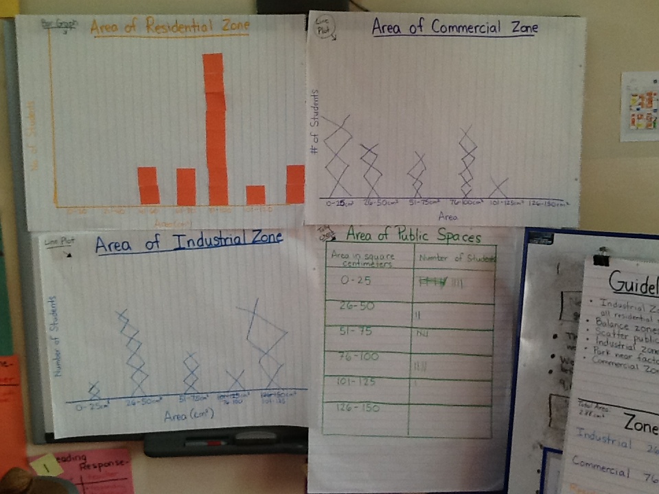
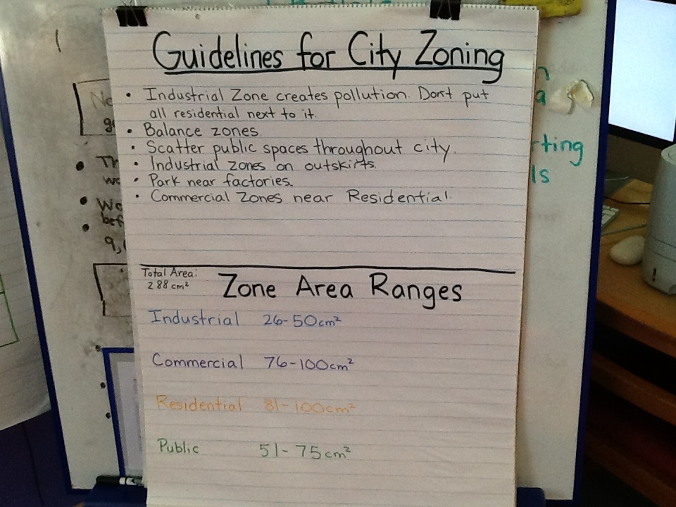
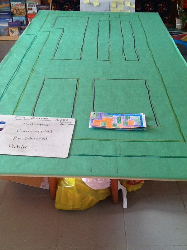
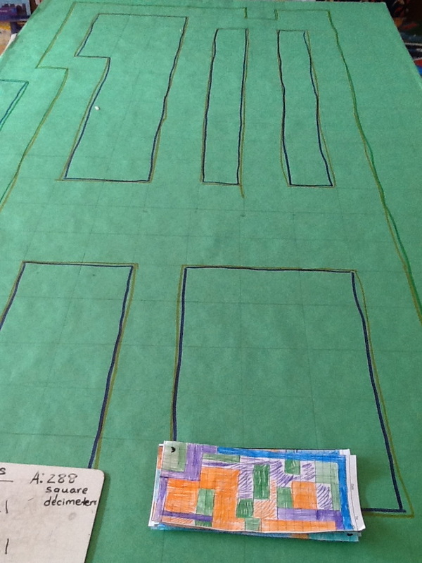
We drew a grid on our land, creating square decimeters. We found the perimeter of our city, in decimeters. We then cut out rectangles to scale on centimeter grid paper. Each student created his/her own blueprint, creating suggestions for the zoning of our city (Industrial Zone, Commercial Zone, Residential Zone, Public Spaces). We found the total area of each zone, and made sure it added up to the total area of our city. Then, as a class, we graphed the areas of our zones. We found the average range of area for each zone. We then created new blueprints - rezoning the city with the agreed upon areas in mind. Finally, we presented our blueprints and voted on one to zone our 3B city!
This process was very engaging, and it really helped build the students' conceptual understanding of both perimeter and area. Not to mention, they learned ways we can use both measurements in real life!
 RSS Feed
